Deseret Peak is the highpoint in the Stansbury Mountains, which is the 2nd range west of Salt Lake going into the Great Basin. Beautiful landscape, the top portion carved out by a glacier, with the Tooele Valley basin on the east, and Skull Valley just to the west, with the arid and lower Cedar Mountains beyond that, and the Great Salt Lake desert and salt flats beyond that.

I have to get a wildflower picture in here. There are a ton of wildflowers this year, especially at higher elevations.

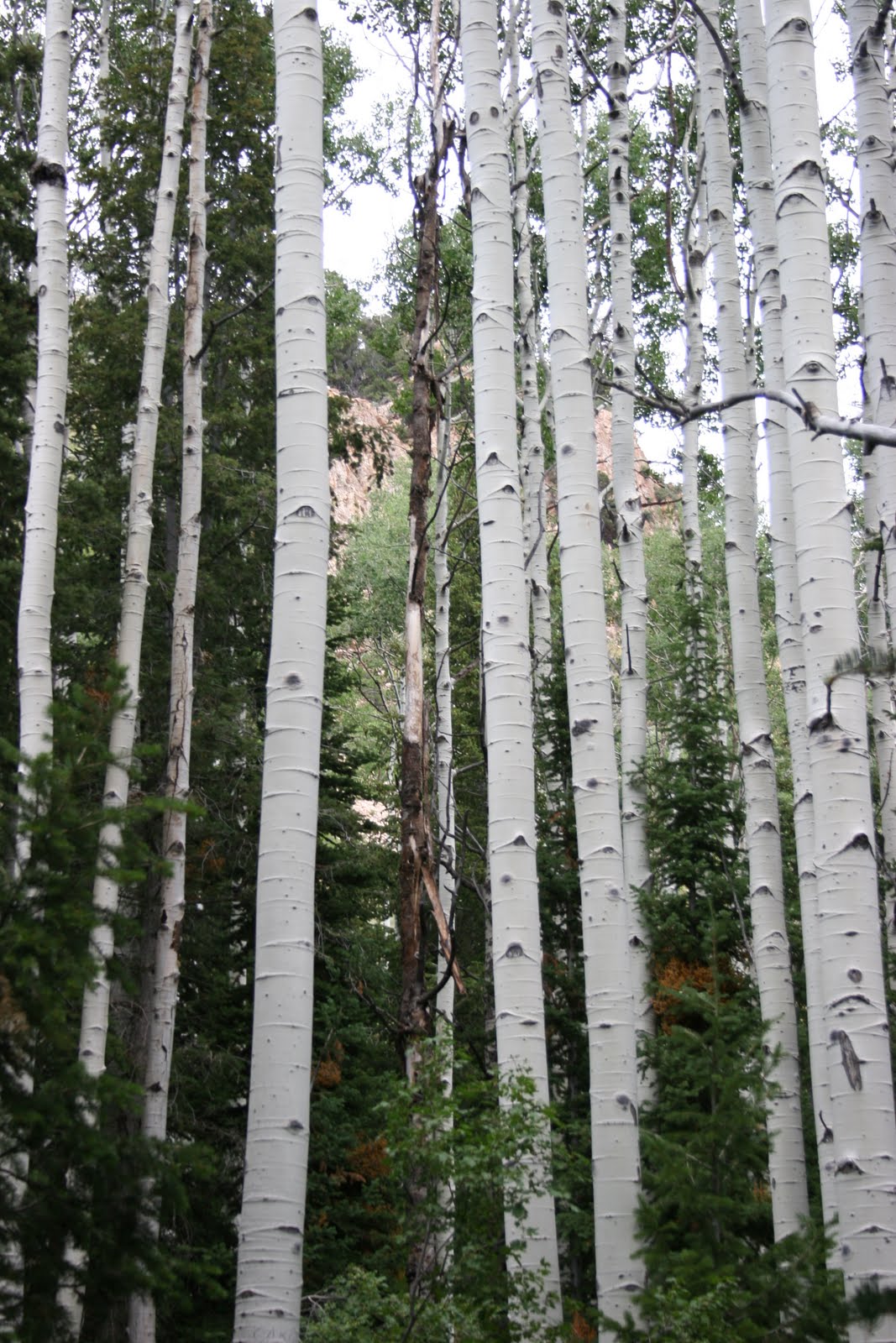
Plenty of stands of Aspen:
Looking back to the NE down South Willow Canyon, with the southern part of the Great Salt Lake and Antelope Island in the distance, as well as the Oquirrh Mountains on the right, and then Bountiful Peak and Francis Peak of the Wasatch in the distance:

Across the Tooele Valley to the northern portion of the Oquirrh Mountains, with the Davis Country portion of the Wasatch behind them:

It was about 3700 feet of vertical, reaching 11,031 at the peak, where the view was impressive. I wish the day was a little clearer, but I could make out Mount Moriah in Nevada, about 115 miles to the southwest, as well as Gunsight Peak to the north, near Idaho, past Ben Lomond Peak and the Wellsville Mountains. Pilot Peak in Nevada was fairly easily seen, across the salt flats and playa of the Great Salt Lake Desert, and I was able to see the Toano Mountains west of Pilot Peak, as well as the Goshute Mountains and Antelope Mountains in Nevada. On a clearer day I'm pretty sure you could see Wheeler Peak at Great Basin National Park, which would be about 135 miles away.
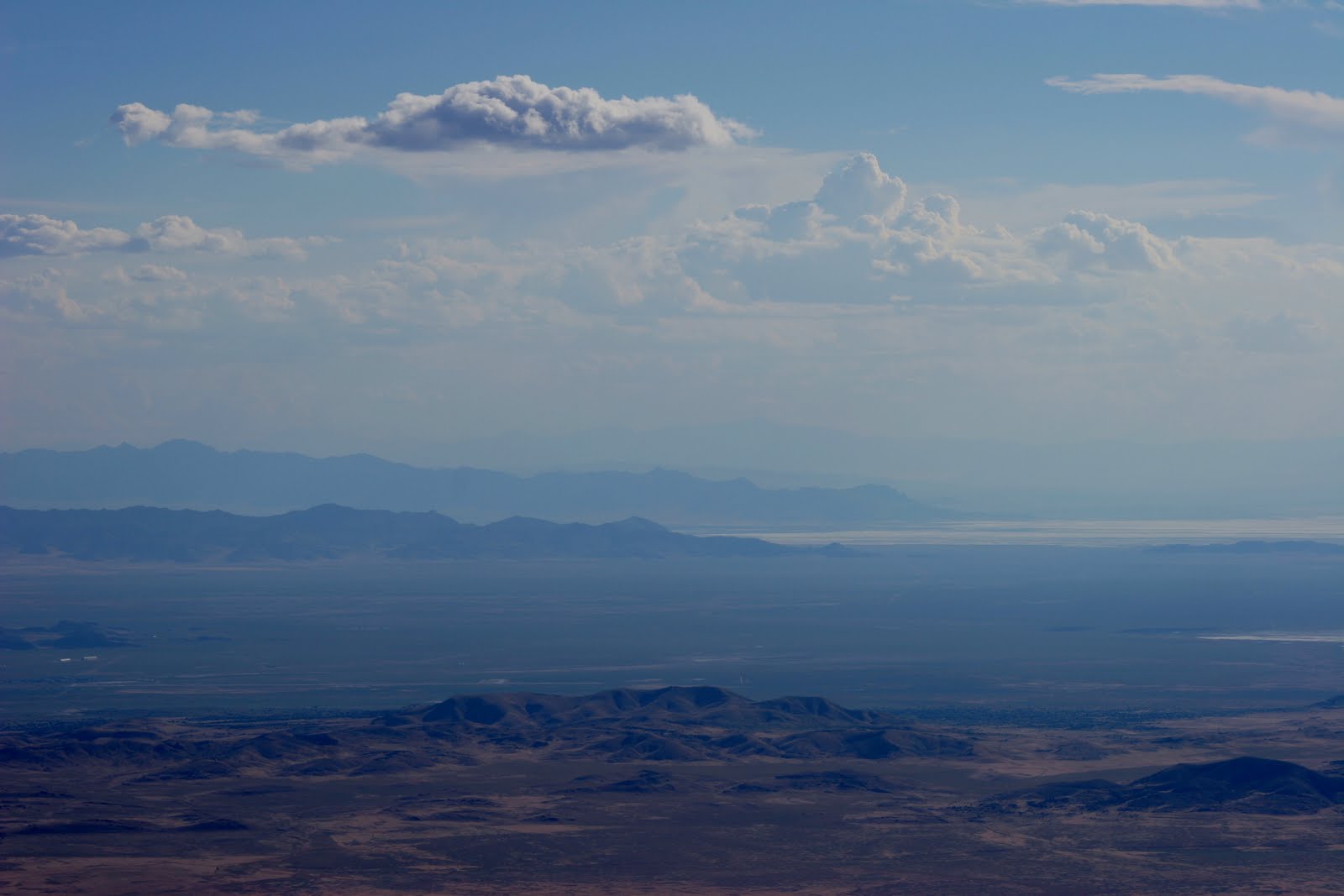
Looking southwest, the south end of the Cedar Mountains, then Granite Mountain in the US Army Dugway Proving Ground, with the Deep Creek Mountains in the distance.

Still looking southwest, you can see the Fish Springs Range, and very faint, in the distance is Mt. Moriah.
Looking south, the Sheeprock Mountains are in the background, with the Canyon Mountains east of Delta, UT in the distance.

Looking east, over the top of Lowe Peak and Flat Top Peak at the top of the Oquirrh Mountains, you can see Mount Timpanogos in the background, which overlooks Provo, UT.

No comments:
Post a Comment