Wednesday, August 22, 2018

After work at the Great Salt Lake

I wanted to get some video of the Great Salt Lake shoreline near sunset, and found that a sailboat regatta was underway.   

What a great way to end a Wednesday!


Monday, November 3, 2014

Flying to Phoenix and back... the long way

I recently flew to Phoenix to watch a football game and catch up with a former colleague, but took indirect flights, on purpose, wanting to see if I could get some good photos from the plane with my Nokia 1020 phone-camera.

Basically, I went from SLC to Denver, to Phoenix, to San Franciso, and back to SLC

The first leg was from Salt Lake to Denver, with a departure out over the Great Salt Lake.

Above the Great Salt Lake on a NW departure, looking southwest, with Stansbury Island on the right, the southwest corner of the GSL in the foreground, the Stansbury Mountains and 12,000 Deseret Peak to the left, the Cedar Mountains further back, and the Deepcreek Mountains in the distance, over 100 miles away


As we got closer to Denver, some nice shots appeared out my window, so I had no choice but to click the button!


Looking North on a range in Colorado, with the high plains of Wyoming in the distance


Out of Denver to Phoenix, I found a nice shot of Great Sand Dunes National Park, with the Sangre de Cristo Mountains adjacent.

Great Sand Dunes + Sangre de Cristo Mountains


Approaching Phoenix, Camelback Mountain, surrounded by city:
On approach to PHX, Camelback Mountain from the air


Of course, I had to hike Camelback, which is an excellent workout, no chance for hypothermia!
Echo Canyon, on the way up Camelback


Iconic Saguaro Cactus 


The football game was great, and then my journey was from Phoenix to San Francisco:

Downtown Phoenix on departure


Enroute to San Francisco, Yosemite National Park appeared:


Yosemite from above, after an early autumn snow


From San Francisco, headed east, Lake Tahoe, from the SE at 36,000 feet:


A nameless range in the Great Basin:


"Homeward Bound":


Saturday, April 5, 2014

Silver Island Mountains, Great Salt Lake Desert

As most folks from Salt Lake drive west on I-80 to Wendover, the Bonneville Salt Flats come up on the right side (north) and there's a very dry range that runs SW-to-NE adjacent to the salt flats that most people don't really pay attention to.

With some early April weather lowering the snow level along the Wasatch Front, I decided to take on the Silver Island Mountains on a Saturday.

It was awesome.  They're not that high, about 7500 feet, but there was not nearly the same amount of snow.  I drove Taco (my trusty Toyota Tacoma) up a short canyon to a good launch point and started up, over a lot of lava rock, and lots of limestone, and once on the main spine, it was nothing but great vistas, in all directions, and they got better the higher I got.  The only thing about this range to be wary of is there is no trail, and there's a lot of uneven surfaces and small talus fields, so the wheels get a good workout.

Looking SE with part of the canyon shaded by thunderstorms.  The cliff was bigger than I was anticipating, maybe 300 feet.


Now looking north, with the late evening sun and scattered T-Storms providing lots of good lighting.


A clear shot looking north at the rest of the Silver Island range, with GSL playa providing the "ocean" that makes us refer to the Great Basin ranges as "islands in the desert".


Looking north, with the snow-capped Raft River Mountains in the distance


Looking NW at Pilot Peak, with the playa between the Silver Island range and Pilot range very distinct.


Looking NW over the north ridges and into the valley between Silver Island and Pilot ranges


Looking east to the south end of the Newfoundland Mountains, with winter's water in the drainage basin west of the Newfoundlands.


Looking NE at Desert Peak of the Newfoundland Mountains.


Friday, November 29, 2013

About the Author

If you happen to see me out in the Great Basin, this what I look like:


Sunday, October 6, 2013

Deepcreek Mountains, Utah

About 60 miles south of Wendover is a beautiful range of 12,000 peaks, alpine meadows and streams with Lake Bonneville Cutthroat Trout.  (These fish have been in these creeks for 10,000-12,000 years, since Lake Bonneville, because the creeks now flow out into the desert and dry up - there is no connected waterway for the fish to traverse elsewhere.  They've managed to survive out here for many millennia, disconnected from everything else.)

I've been the Deepcreeks before, and most of the canyons and creeks are on the east side of the range, so this time I decided to look at the range from the west, which is adjacent to the Goshute Indian Reservation at Ibapah, Utah, right next to Nevada.  The Ibapah Valley is actually pretty prosperous, with more than a few ranches and farms, even an airstrip right in Ibapah.

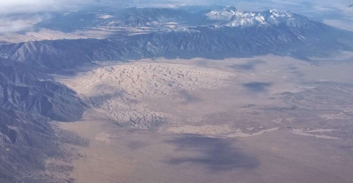
There was a dusting of snow on Haystack Peak, with Ibapah Peak on the right, but you can see the west side of the Deepcreeks has pretty short canyons:

 
Plenty of granite in the Deepcreeks, but from this side, I think you may need to get permission from the Goshute tribe to access these rocks:


Plenty of pine, stands of aspen, and 12,000 peaks above the timber line, with snow:
 
Then, I went west into Nevada, into Antelope Valley, where at sunset I could see Mount Moriah, the northern part of the Snake Range (which includes Wheeler Peak and Great Basin National Park):
 
 
I drove east through Pleasant Valley, back into Utah and went north from Partoun, past Trout Creek, close to Callao to find a spot on the foothills to settle in for the night, in the back of Taco.  It was pretty nippy, and with summer gone, the night was long, but there were a billion stars to see, and the Milky Way stood out.
 
This is what Haystack Peak and Ibapah Peak look like from the foothills on the east side of the Deepcreeks:
 

From the remote farming / ranching community of Callao, the Deepcreeks offer some impressive cliffs.

No trip to the Deepcreeks from Wendover would be complete without a trip by what's level of the tiny mining community at Gold Hill:


The selection of merchandise for sale at Gold Hill is what you might call "limited".  You'll need to drive 40 miles north to Wendover if you want to do any kind of real shopping:


Sunday, September 29, 2013

Pancake Range, Nevada

As I was driving from Ely to Tonopah, to hike the Alta Toquima range, it was definitely a monsoon weather flow, which means moisture, which means thunderstorms in the Great Basin.

Just driving along Route 6, a few photographs jumped into my camera.  :)


Sunday, September 1, 2013

Alta Toquima Wilderness, Nevada

At least once a summer I try to make a trip deep into Nevada, and the Alta Toquima has been on my mind for a few years. 

This range is noteworthy for a lot of reasons, namely 12,000+ peaks, a large plateau at the top, and stunning visibility, as well as an archeological site discovered in the early 1980s at the 11,000 level, thought to be about 1500 years old, likely built and inhabited by Shoshone peoples.

Here's an article that compares the Alta Toquima archeology site with a similar site in Wyoming, also near 11,000 feet elevation. Native American High Altitude Living

I've read that when the visibility is crystal clear, you can see both California and Utah from the top of Mount Jefferson.  Unfortunately, on my trip it was a monsoonal weather flow, and there were subsequently plenty of clouds, thunderstorms, but like is common in the desert, not much actual rain.

I went north of the surreal town of Tonopah, past some kind of annual gathering of interested parties at the restored mining town of Belmont, and started up a canyon on the SE edge of the Alta Toquima range, ending up at the mouth of a short but steep canyon right next to the Mount Jefferson South Summit called Andrews Creek.

The view down Andrews Creek canyon, looking east toward the Monitor Range:


Once on top of the Alta Toquima mesa, the terrain was windswept, with lots of thunder in the distance, in pretty much every direction.  A small herd of Bighorn Sheep occupy Mount Jefferson:

I hiked north on the plateau, which has beautiful overlooks of the Pine Creek canyon area on the east side of the range, into Monitor Valley.  Finally the sun broke out and some photos were to be had:


I don't know exactly where the archeology site is in this range, but at the top of Pine Creek canyon there was a mountain lake, and it's not hard to imagine Shoshone inhabiting this area in the summer as a seasonal hunting area:


A trail of cains to mark the trail on top of the mesa, looking east:

 
Driving back to SLC the next morning, I saw a couple of Golden Eagles at different points: