About an hour west of SLC on I-80, past Grantsville, past Skull Valley, lies the Cedar Mountains, which form the last range going west before the expanse of the Great Salt Lake Desert. The Cedar Mountains are quite arid, and remarkably undisturbed. If you want solitude, they are an awesome resource, and it's heartening to know this range was designated as wilderness.
 |
| Yep, the ill-fated Donner Party went through this range on their way to California, before getting really bogged down in the salt flats trying to get to Pilot Peak, the nearest fresh water on an 80 sprint across the GSL desert. |
 |
| Looking SW toward the Deep Creek mountains, and the Snake Valley, currently a controversial issue because Las Vegas wants to take their already meager water supplies. |
 |
| Looking NW toward the Newfoundland Mountains and Desert Peak. |
 |
| From the top of the Cedar Mountains, looking east to Deseret Peak in the Stansbury Mountains. See all that snow? That's why I'm not hiking the big peaks quite yet. lol. |
 |
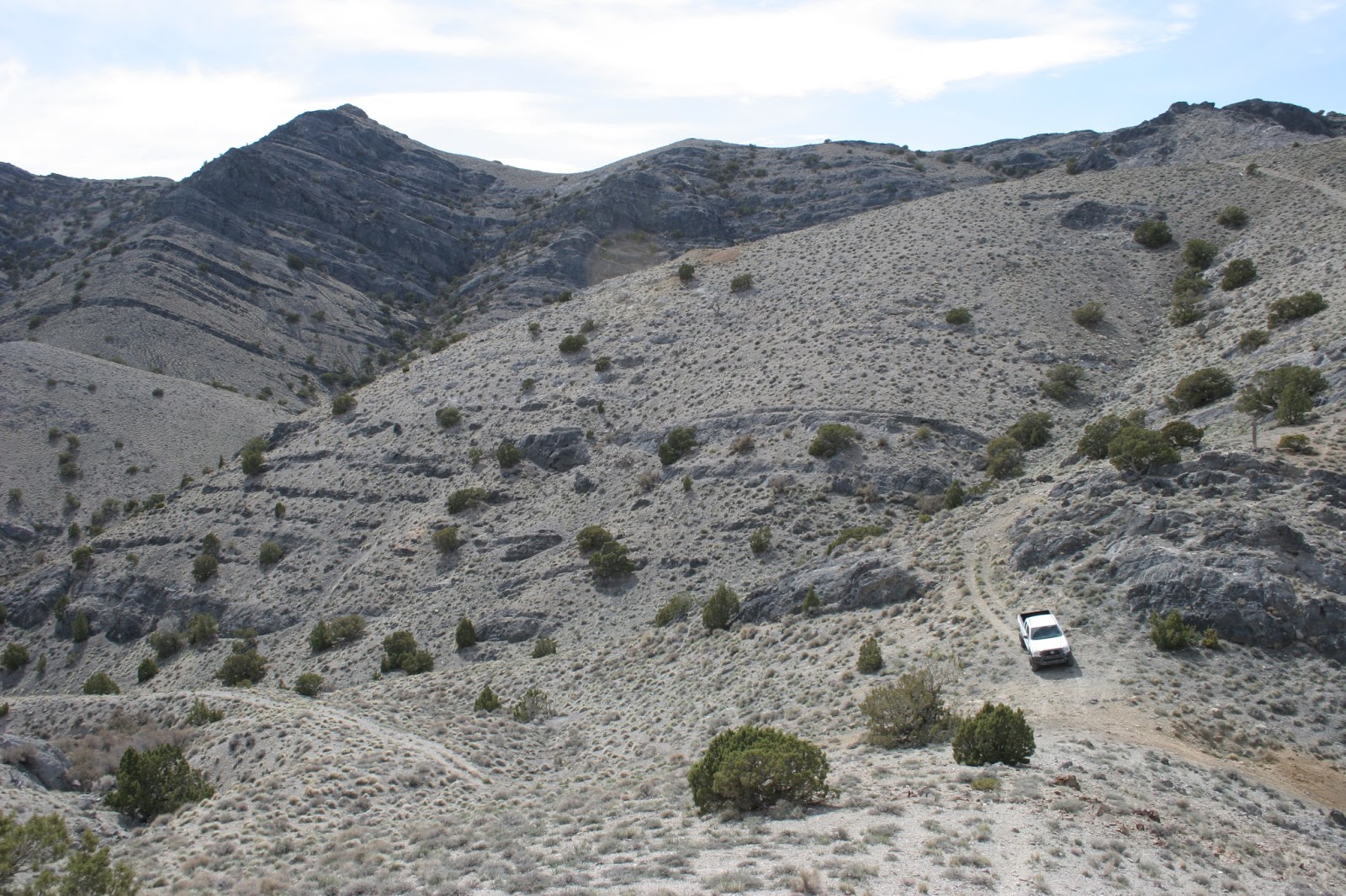
| On the way to the summit. Pretty easy hiking, a good workout at 7000+ feet. |
 |
| The day was mostly cloudy, windy and cold, with a cold front dropping the temperature about 20F during my hike, but the sun broke out later to give me some nice shadow effects against the sparsely forested foothills. |
 |
| Almost sunset, back down on the road on the west side of the range some Cedar trees provide a nice foreground to their namesake mountain range. |
 |
| A couple of Ferruginous Hawks trying to stay out the wind. |
 |
| Cedar trees lined up in a row at sunset. |