Memorial Day, 2011
Woke up to a dusting of snow on the back lawn. Ah yes, the Spring of 2011 will be remembered, for how late the winter ran and how much precip we received.
Went to Antelope Island and took the trusty Canon with me. It was a great day, both for hiking to the top of the island, and for taking photos. Lots of sun & clouds, which means great lighting situations for landscape photography.
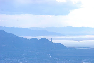
Great, great view from the top of Antelope, Frary Peak.
Here's a view from the Frary Peak trail looking northwest toward Buffalo Point, with Fremont Island in the background:

Looking south from Frary Peak toward Tooele:
Woke up to a dusting of snow on the back lawn. Ah yes, the Spring of 2011 will be remembered, for how late the winter ran and how much precip we received.
Went to Antelope Island and took the trusty Canon with me. It was a great day, both for hiking to the top of the island, and for taking photos. Lots of sun & clouds, which means great lighting situations for landscape photography.
Great, great view from the top of Antelope, Frary Peak.
Here's a view from the Frary Peak trail looking northwest toward Buffalo Point, with Fremont Island in the background:

Looking south from Frary Peak toward Tooele:
Downtown SLC, with a cloud-shrouded Wasatch behind:
Buffalo Point, Fremont Island and Promontory Point, with a squal brewing:
Looking west over Elephant Head, with the Lakeside Mountains in the background:
Looking east toward Bountiful, Pyramid Peak, and Black Mountain (to the left) and part of City Creek canyon (to the right):


